November 07, 2006

Floodwaters

When I was watching the high water levels last weekend, I had no idea what was in store for the area. Western Washington has been in what could be 100 year floods. Almost every major road into the mountains is closed from flooding, possibly permanently. Most of the major rivers are at or beyond record heights. Entire towns have been evacuated and are under water. The Sunshine Point Campground at Mount Rainier National Park has completely washed away -- it is no more -- along with a quarter mile of the Longmore Road. The power of Nature is simply incredible.

The following are selected photos from the floods. I did not take these pictures, and do not take credit for them in any way.

Deception Falls NRA (from Alpine Andy @ WTA):

Footbridge Over Deception Creek Flood
Deception Creek Flood


Snoqualmie Falls (from MtnDog @ NWHikers):

Snoqualmie Falls at Flood Levels


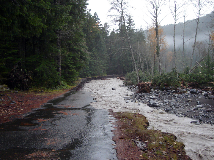
Mount Rainier National Park (from Mount Rainier Climbing):

Longmire Road Washout
Longmire Road Flooding
Westside Road Flooding


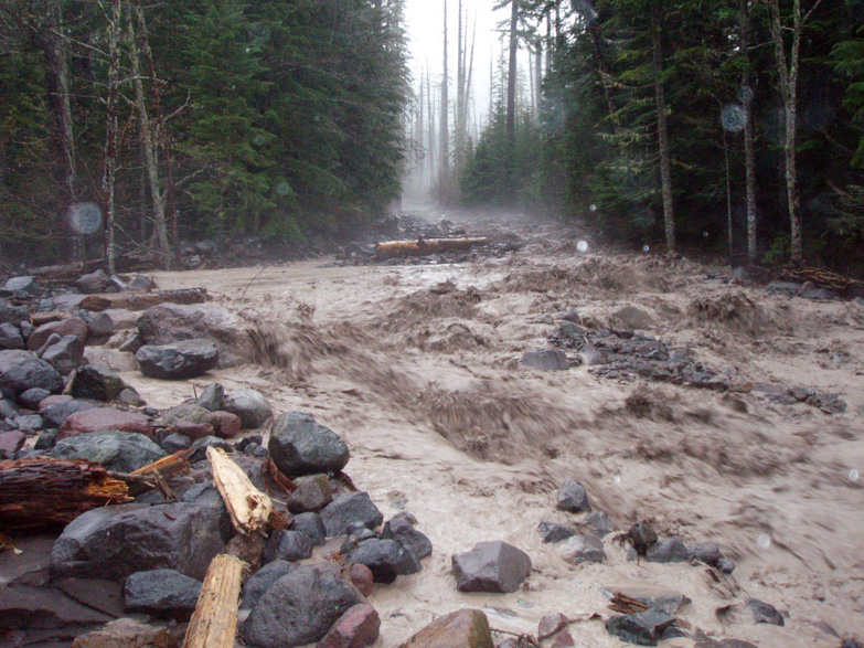
Stillaguamish River (from JimK @ NWHikers):

Stillaguamish River Flood


Fall City, WA (from MtnDog @ NWHikers):

Snoqualmie River Flood


Snohomish River (from Pütz-in-Boots @ NWHikers):

Snohomish River Flood


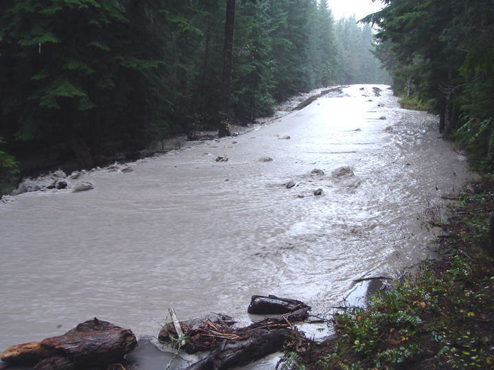
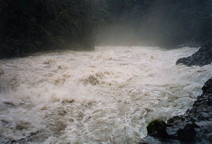
Middle Fork Snoqualmie River (from Tom @ NWHikers):

MFK Snoqualmie Flood


Granite Falls, WA (from naturalbeing @ NWHikers):

Granite Falls Fish Ladder Flooding


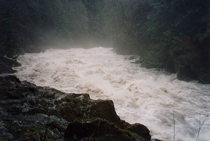
Eagle Falls (from Seattle Times):

Eagle Falls Flooding


North Fork Skykomish River (from kleet @ NWHikers):

NFK Skykomish River Flooding


Nooksack River (from Bellingham Herald):

Nooksack River Flooding at I-5


Cowlitz River (from grizzly86 @ NWHikers):

House Floating Down a Flooded Cowlitz River

No comments: